Image
Gallery showing 1 of 1 images

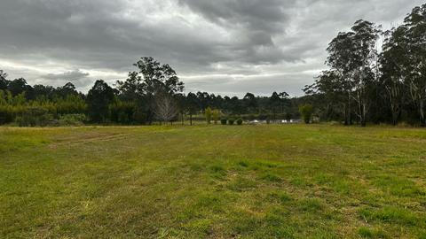
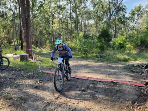
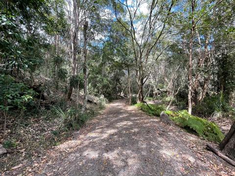
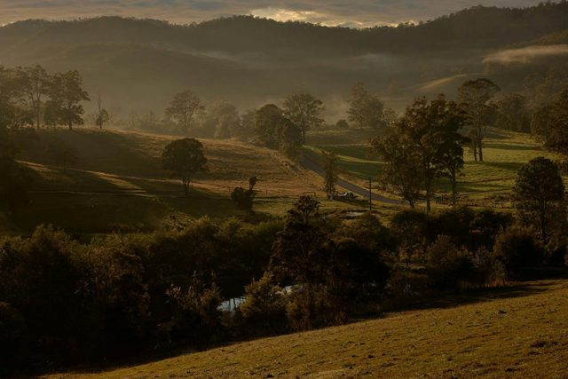
Distance: 7.5km Difficulty: Easy At the Maria River State Forest sign on Pipers Creek Rd you can park and start walking on the numbered trails. All of them are quite well maintained. Not all the trails are signposted. On first glance, it looks complicated, but it's not really difficult if you follow the instructions carefully. Follow West End Rd for 1.1km to an intersection where a bike track starts, leading straight ahead. Turn left, staying on the road. After about 800m you'll reach Gate Rd. At the fork, turn left. Follow this unnamed trail for 1.2km to the T section. Turn right at Cpt 31/6 trail. Walk 700m to the T section Turn right at Cpt 31/1 trail and walk 700m. Turn left at Cpt 31/3 and walk a total of 1.8km. There are two roads branching off on the left. Ignore them. At the junction where Cpt 31/3 trail leads into Myers Lane, turn right at Cpt 31/4 trail. Follow Cpt 31/4 trail for 2.2km, veering right at the fork, back to Cpt 31/1. Turn left. From here it's about 600m to the cars. Along the trail, you might find cut logs which are very inviting for a rest. There are other trails in the area which you might like to explore. Credit: Macleay Walking Trails by Christa Schwoebel and John Cruickshanks
Be the first to share your experience!
Pipers Creek Road
Dondingalong NSW 2440