Gungarlin River campground

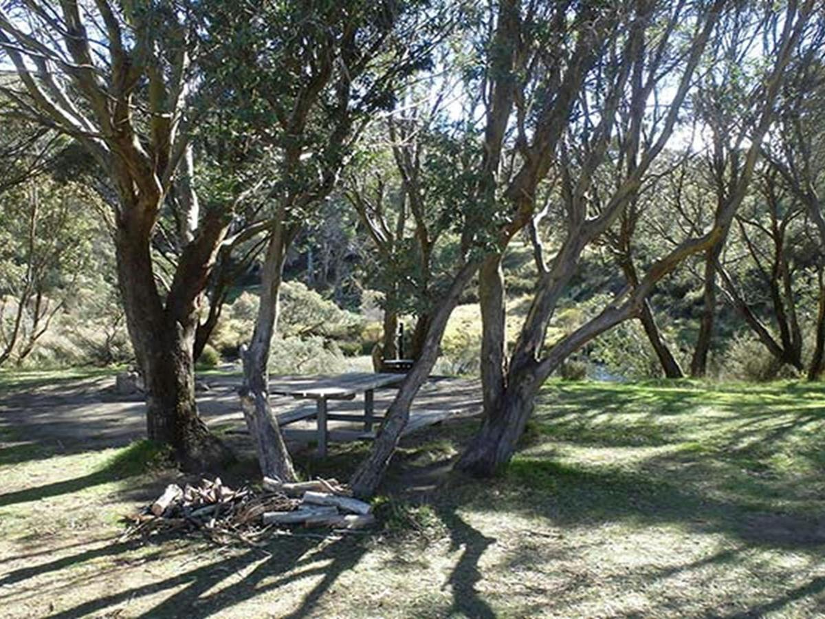
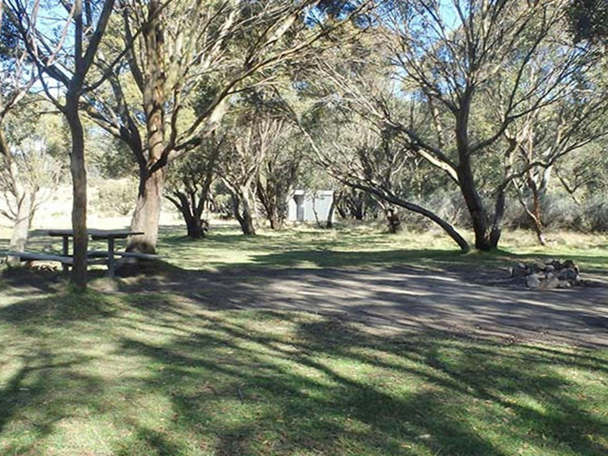
Picnic tables and fire rings among black sallee trees, Gungarlin River campground, Kosciuszko
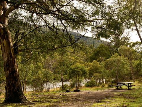
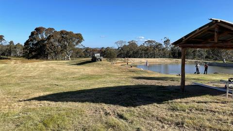
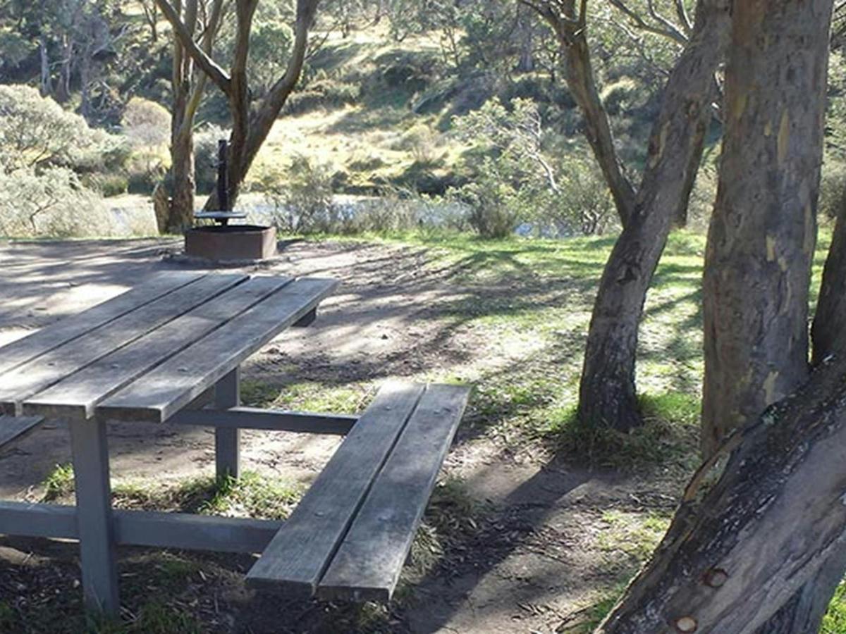
A timber picnic table at Gungarlin River, with a view of the river, Kosciuszko National Park. Photo:
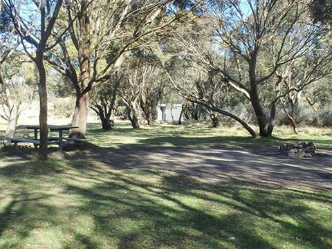
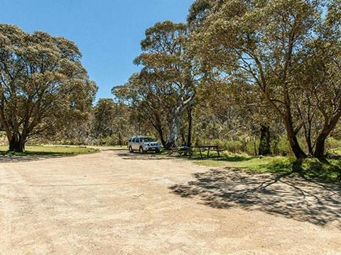
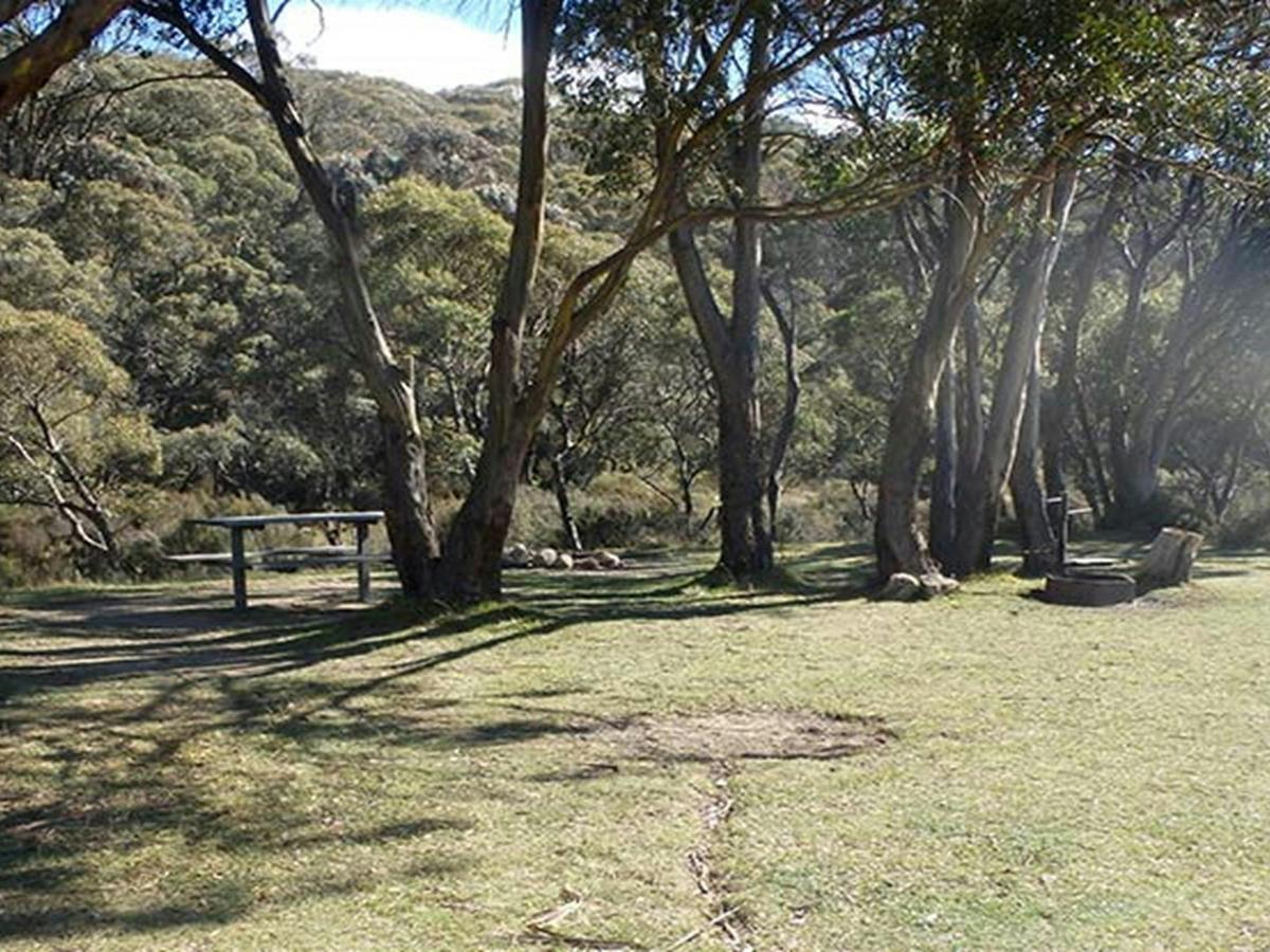
Picnic table and fire ring under trees at Gungarlin River campground, Kosciuszko National Park.
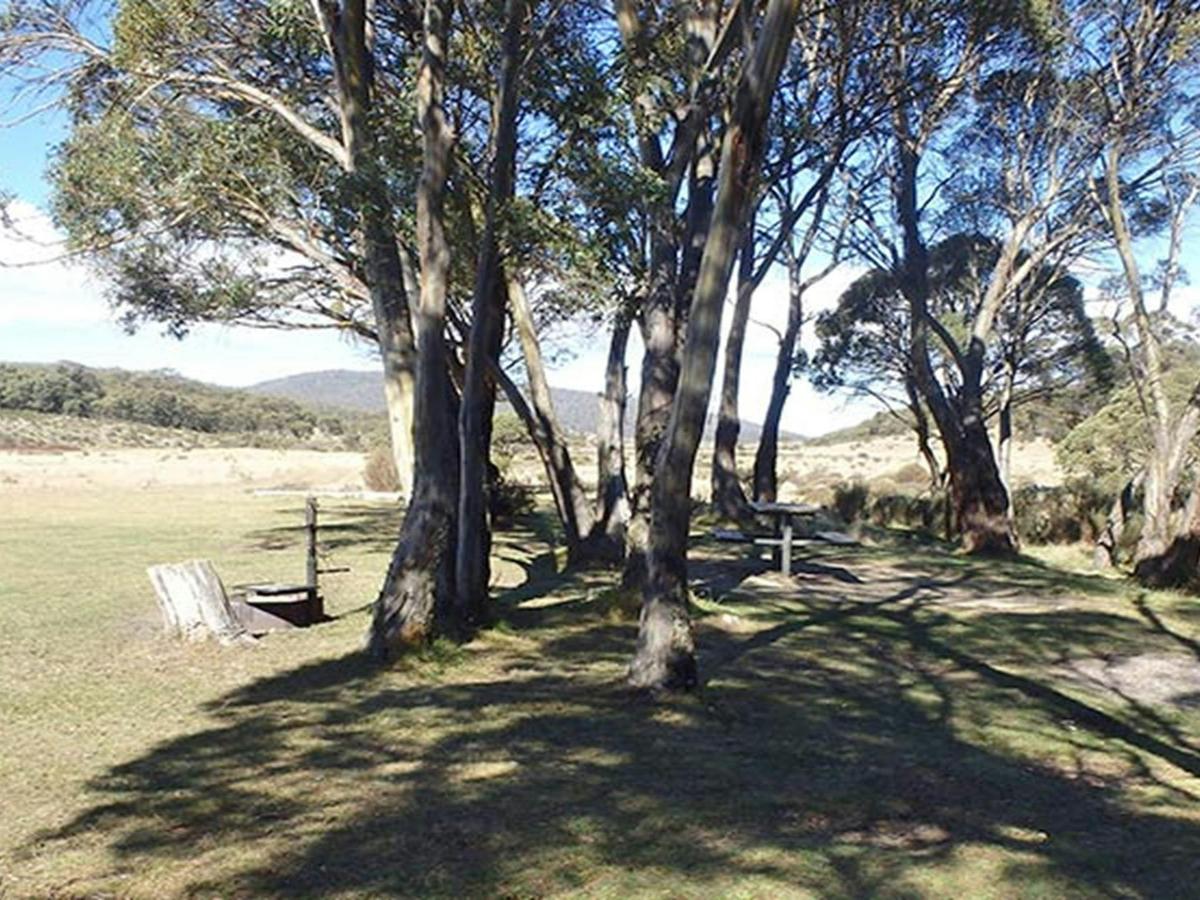
A flat, grassy campsite beside trees at Gungarlin River campground, Kosciuszko National Park. Photo:
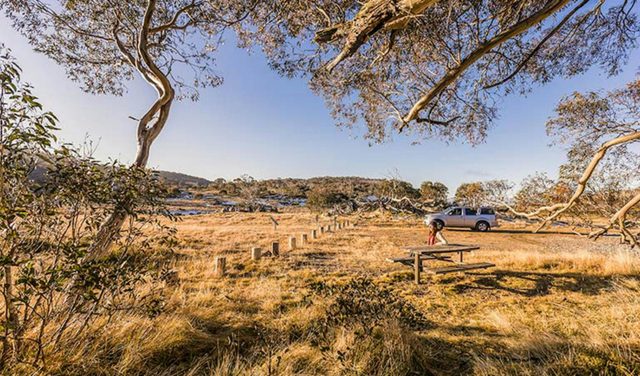
A shady unmarked campsite under trees at Gungarlin River campground, Kosciuszko National Park.
Gallery showing 5 of 5 images

Park alerts

Kosciuszko National Park

18 current alerts · 1 upcoming · Checked 13 Oct 2026, 9:05 pm

  • UpcomingClosed areas9 Nov 2026 – 27 Nov 2026

    Parts of southern Kosciuszko National Park closed for feral animal control operations

    View a map of the closed areas here.

    NSW National Parks and Wildlife Service will be conducting aerial control operations in some parts of this park. Areas will be closed each weekday from 5:45 am to 8:15 pm, from Monday 9 November to Friday 27 November 2026.

    Closure notices will be placed at relevant public access points. Do not enter the closed areas. Penalties apply for non-compliance.

    The following facilities and areas within Kosciuszko National Park will be closed:

    • Rennix walk
    • Rainbow Lake walk
    • Porcupine walk
    • Waterfall walk
    • Illawong walk
    • Snowies Alpine Walk: Guthega to Charlotte Pass walk
    • Snowies Alpine Walk: Charlotte Pass Village to Perisher Valley walk
    • Snowies Alpine Walk: Perisher Valley to Bullocks Flat walk
    • Hannels Spur track
    • The Main Range - Dicky Cooper Bogong south along Rolling Grounds (down to ~1300m elevation to West, ~1600m elevation to N, E) to Wilkinson Valley
    • Ramshead Range - Merritts Creek east to Sawpit Creek
    • Part of Perisher Range including Mount Guthrie (Snowy River east to Mount Paralyser)
    • The area east of Guthega Link Road, eastwards to Diggers Creek
    • The area east of Whites River corridor and west of the Brassy Mountains, including Disappointment Spur Hut, Tin Hut and Mawsons Hut
    • Snowy Plain area, including Gungarlin River campground, Daveys Hut, Kidmans Hut, CSIRO Hut and Botherum Plain Hut
    • The area east from Diggers Creek (Guthega Road) and north of Kosciuszko Road towards Jindabyne Pumping Station
    • The area west of Dead Horse Gap walk and Kosciuszko walk , including North, Central and South Ramshead
    • Cootapatamba Hut
    • Pilot Wilderness Area, including Teddys Hut and Tin Mines Trail
    • Moonbah, Grosses Plain and Ingebyra areas

    The following facilities and areas will remain open:

    • Resort areas
    • Public road corridors
    • The Australian Alps Walking Track (Cowombat Flat to Whites River Hut – refer to map of closed areas for diversions)
    • The Whites River corridor, including Horse Camp Hut, Whites River Hut, Schlinks Hut, Valentines hut and Grey Mare Hut
    • Kosciuszko walk
    • Summit walk
    • Summit trail
    • Main Range walk
    • Mount Stilwell walk
    • Pallaibo walk
    • Dead Horse Gap walk
    • Thredbo River walk
    • Thredbo Valley track (walking and cycling)
    • The Pilot Wilderness mountain bike ride (Alpine Way to Barry Way), including Cascade, Ingeegoodbee and Nine Mile Trails

    Please note that the closed sections of trail that form part of the Ultra Trail Kosciuszko by UTMB race routes will not be closed on the listed event dates.

    For more information, email the local NPWS office or call 13000 PARKS (1300 072 757).

    Details

About

Gungarlin River campground is a peaceful spot nestled among black sallee trees beside the crystal-clear Gungarlin River. Around 50km drive from Jindabyne via a 4WD-only trail, it's a great place to get back to nature.

Enjoy summer fishing in the river, or explore the management trails on a bushwalk, mountain bike or horse ride. You'll find historic alpine huts dotted throughout the area, including nearby Botherum Plain Hut, and Daveys Hut which was built in 1909. To get there, cross the river at the bridge and follow the walking track heading northwest for 2km. Napthalis Homestead site is 1.5km further along the plain.

If you're lucky, you'll have this remote campground all to yourself, aside from the local wildlife. Red-necked wallabies and eastern grey kangaroos can often be seen bounding across the plains. At dusk, keep an eye out for wombats and ring-tailed possums that come down to the river to drink.

In spring and summer, the frost hollow grasslands are covered in yellow native daisies. At 1300m in elevation, temperatures can fall well below zero in winter, so it's best to visit during the warmer months.

Thredbo-Perisher area · Kosciuszko National Park

Remote Gungarlin River campground is nestled beside the Gungarlin River, in Kosciuszko National Park, an hour's drive from Jindabyne. Accessed by 4WD only, it's a great place to spend your time fishing, mountain biking, horse riding and walking the Botherum Plain.

Campsites
9
Accessibility
No wheelchair access

Camping type

  • Tent
  • Camper trailer site
  • Camping beside my vehicle

Facilities

  • Toilets
  • Unpowered sites
  • Unmarked sites
  • Barbecue facilities
  • Picnic tables

What to bring

  • Drinking water
  • Cooking water
  • Firewood

Plan your stay

Access, facilities and practical details.

Frequently asked questions

8 questions

What this place offers

Picnic tables and fire rings among black sallee trees, Gungarlin River campground, Kosciuszko

Camping beside my vehicle

Remote Gungarlin River campground is nestled beside the Gungarlin River, in Kosciuszko National Park, an hour's drive from Jindabyne. Accessed by 4WD only, it's a great place to spend your time fishing, mountain biking, horse riding and walking the Botherum Plain.

Reviews & Ratings

No Reviews Yet

Be the first to share your experience!

Before you go

Park entry

Park entry fees don't apply to access this campground.

Get in touch

Snowy Region Visitor Centre

02 6450 5600srvc@environment.nsw.gov.au

49 Kosciuszko Road, Jindabyne NSW 2627

Where you'll be

Kosciuszko National Park NSW 2627