Image
Image
Image
Image
Image
Gallery showing 5 of 5 images
Most Canberrans know Mulligans Flat Woodland Sanctuary for its wildlife and conservation success stories. A new self-guided Geoheritage Trail reveals an even older story—one that stretches back 430 million years.
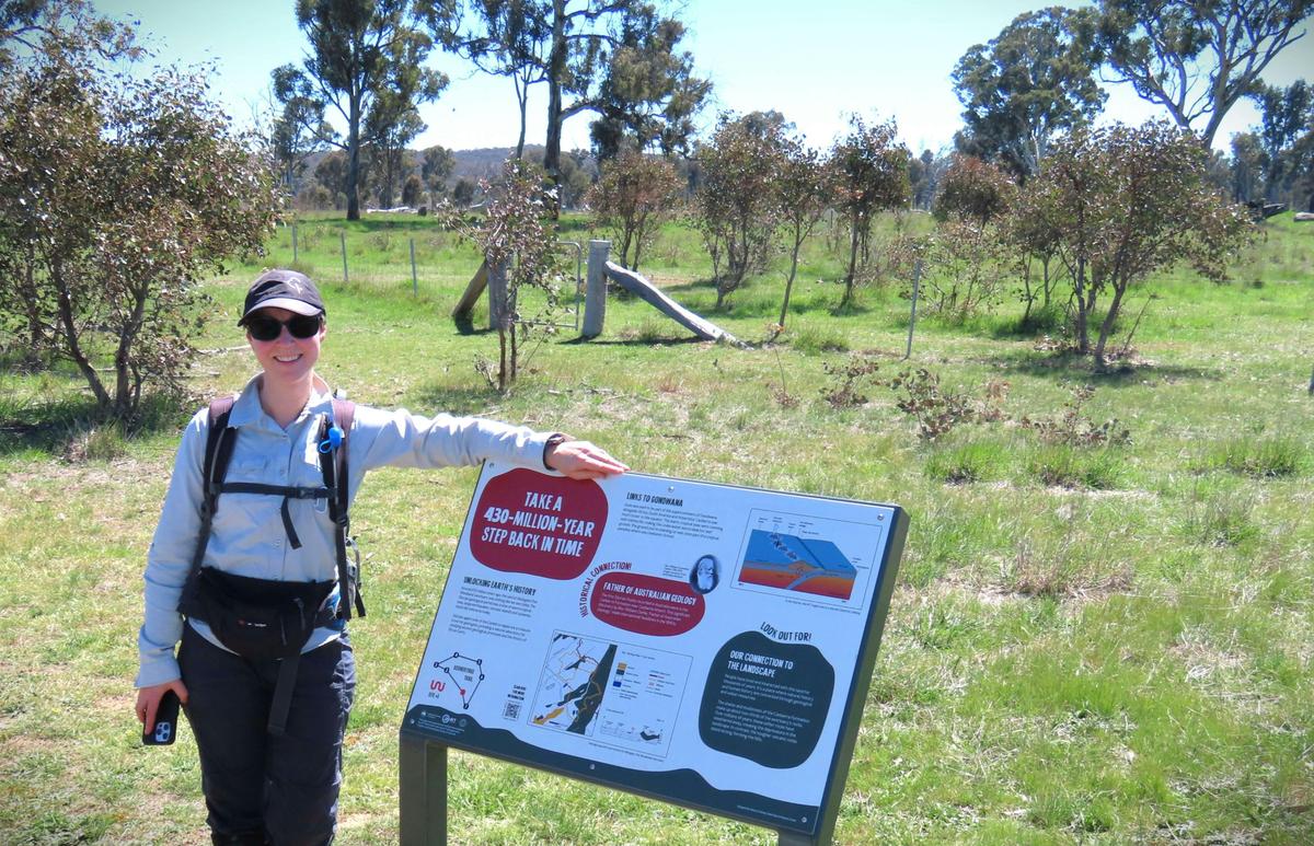
The free self-guided 7-kilometre trail reveals the ancient stories hidden beneath the woodland that was once a tropical marine world long before the dinosaurs existed. Explore seven interpretive stops that connect fascinating geological features with Ngunnawal cultural heritage, unique ecosystems, and the history of European settlement.
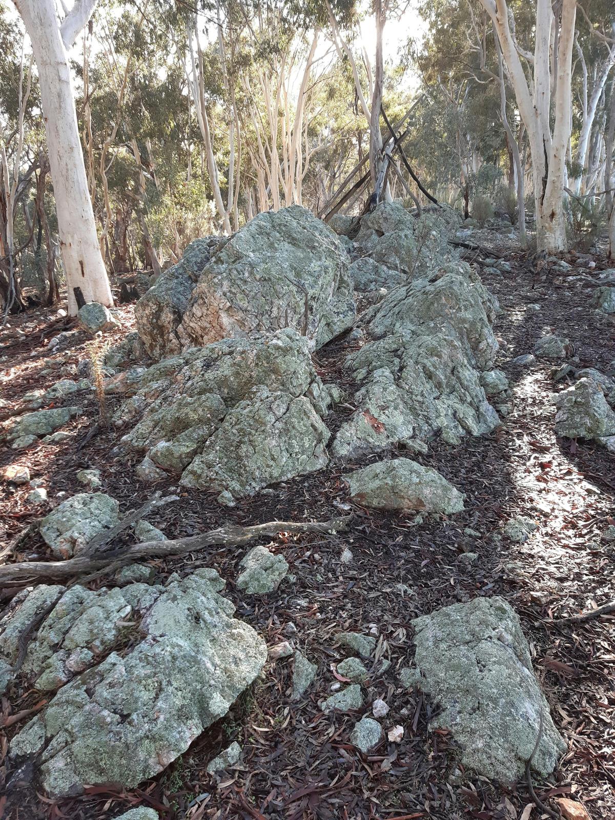
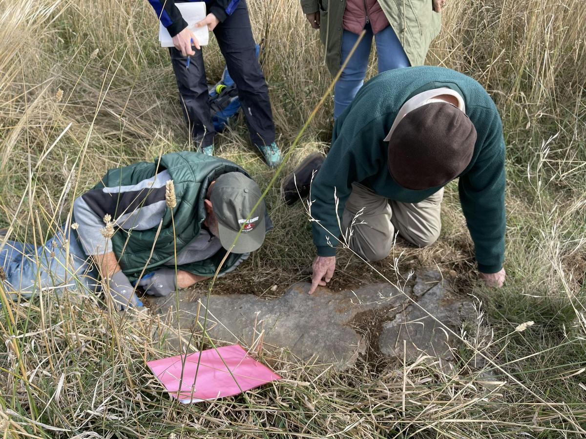
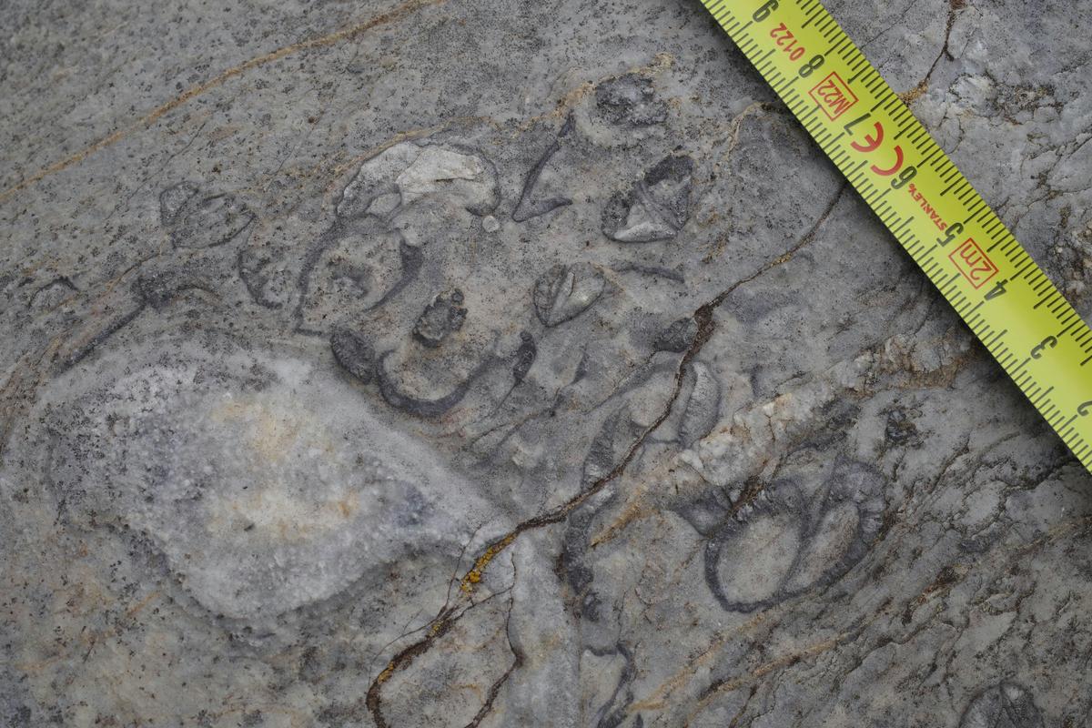
Along the way, uncover evidence of a tropical coral reef that once covered Canberra, discover fossils of ancient marine creatures, learn how volcanic activity and tectonic forces shaped the landscape, and see how geology influences the ecosystems and waterways of the Sanctuary today. The trail also highlights the enduring connection of the Ngunnawal people to Country through their use of local stone and ochres for tools, trade and cultural practices.
Suitable for walkers, families, school groups and nature enthusiasts, the trail combines science, culture and storytelling in an engaging outdoor experience. Visitors can explore at their own pace using interpretive signage and QR-code linked online resources while enjoying the Sanctuary's nationally significant woodland environment and abundant wildlife.

BRING A JACKET AND ALLOW EXTRA TIME. POOR SIGNAGE ON TRAILS. I was very poorly prepared for this walk & didn’t do enough reading beforehand to understand what I was getting into. The wind can kick up in the location so first recommendation, bring a windproof jacket. We started the walk at the Wildbark cafe carpark - you can enter through the side gate and they take the cat/dog/fox policy seriously so you will find electrified chicken fencing wire everywhere. The first and only trails map you will see is contained in my photos - the trail colour & key don’t even match so from the get-go its not clear which trail you are on. To be honest I never saw the entrances of some of the other trails at that starting point so not sure what value this map provided. You’d have no chance if you were a tourist or English as a second language. We followed the wetlands walk which was self-explanatory enough. It terminates at a certain point in which you turn around and refollow the same path. Poorly signed, even a lady leading a bunch of kids had to ask first-timers (us) what to expect from the wetlands walk. We saw this sign for the Geoheritage trail that seemed to continue or be a path from the wetlands walk. You will notice this walk (whilst significant) is not listed in the entrance map. You are expected to look for these tiny purple signs which seem to be located more than 1km apart. The signage is terrible. In the end, trying to beat the sun going down and having to sleep in this park overnight with a howling wind, we used google maps to backtrack after getting lost between the 4th & 5th stop of the geoheritage trail. We found the 5th stop which was not where the previous instruction had directed. There are also other trails mapped with different signage - bird walk, grassy trail. This was so confusing 🫤 If you want a lost-in-the-Australian-bush experience look no further!

I went for quick walk to check out this place. I spotted groups of kangaroos, lots of birds; nice place for your little ones to explore nature. There is play area for kids, baby room, toilets, aquarium etc. Nice place to visit with your family. Highly recommended for nature lovers. Kid friendly, dogs are not allowed inside the park.

We had a great time exploring at Mulligans Flat. We hiked during the day and saw 2 echidnas, and took a night hike tour with the staff where we saw bettongs, quolls, sugar gliders, kangaroos, wallabies, possums and virtually everything else you could hope to find. We also did the captive bettong feeding and it was very cool to get up close and personal with their captive rehabilitation animals.

This is one of the best places in Canberra for wildlife spotting. The sanctuary is entirely fenced to prevent cats and other predators from hunting native wildlife, such as Spotted Quolls. In the last few weeks I have seen two Quolls running along on the ground during daylight hours. One was actually not disturbed by the presence of a bunch of people nearby looking on. In warmer months there are plenty of echidnas around near the bushier trails. I counted seven on a walk one time.

Awesome, large nature reserve that's perfect for a weekend walk or even a leisurely stroll after work on a weekday! Many good chances to catch some wildlife. It's a haven if you're into birdwatching, you're practically guaranteed to see a couple of our hopping friends, and if you're lucky you can also spot some of the rarer species like echidnas.
25 Rosenberg Street
Throsby ACT 2914