Image
Gallery showing 1 of 1 images
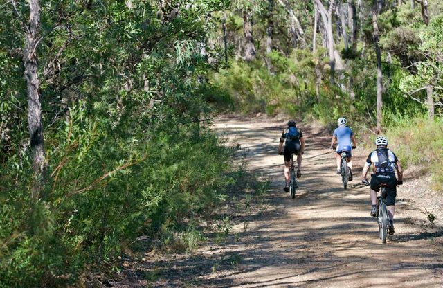
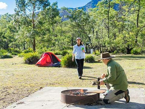
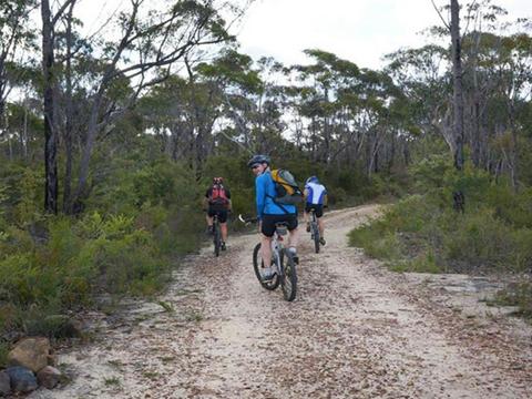
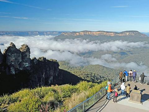
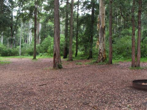
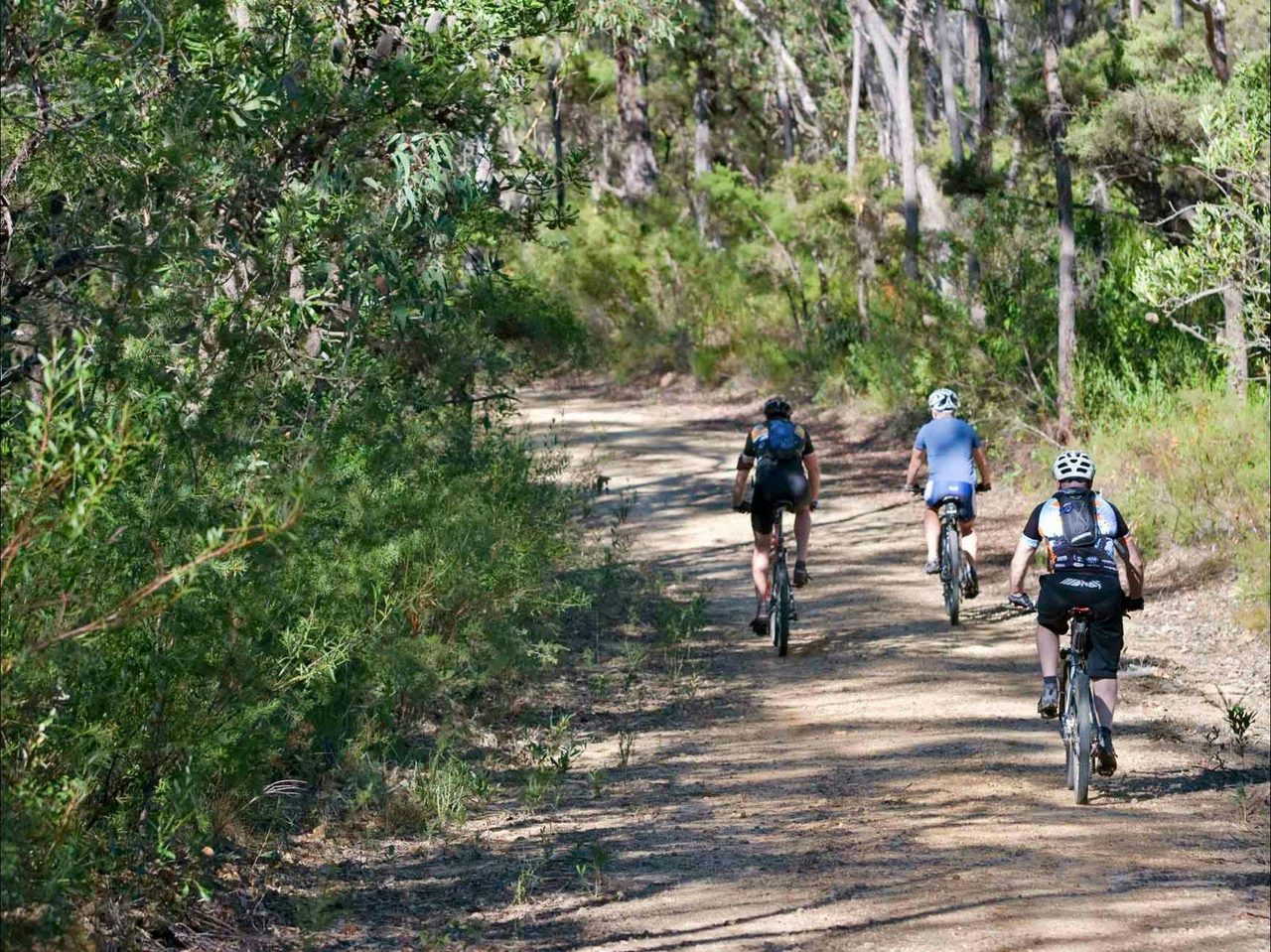
Anderson Fire Trail runs from Bedford Creek near Woodford to Kings Tableland at Wentworth Falls and is suitable for mountain biking and walking. The Trail also provides access to Murphys Glen and Ingar Picnic Area which is a popular campsite and picnic area. Access to Ingar Picnic Area is from Kings Tableland Road.

This incredible trail in the heart of the Blue Mountains sits to the east side of Kings Tableland Road. I'm not a mountain bike rider, but I live on a neighbouring property to the trail and it is by far one of the better tracks to treck during spring or autumn. On the hotter days it is rewarding when there is a nice breeze, as it does get windy. There are no public amenities in the area, with the nearest toilet located at the end of Kings Tableland Road. About 10 minutes past the start of the track. This trail is subject to damage after heavy rain.

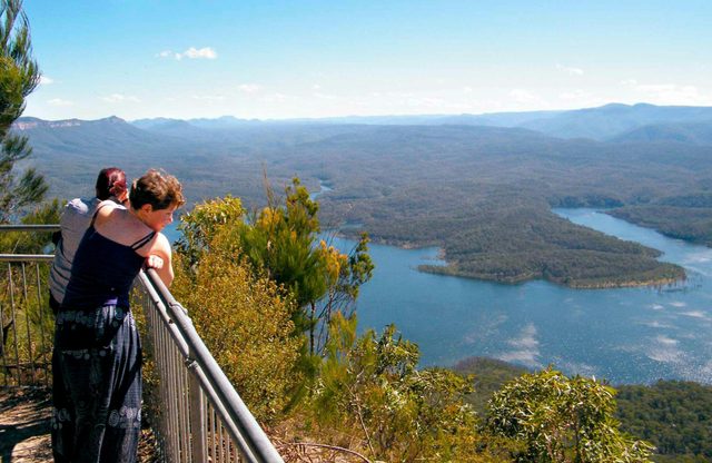
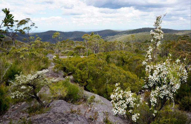
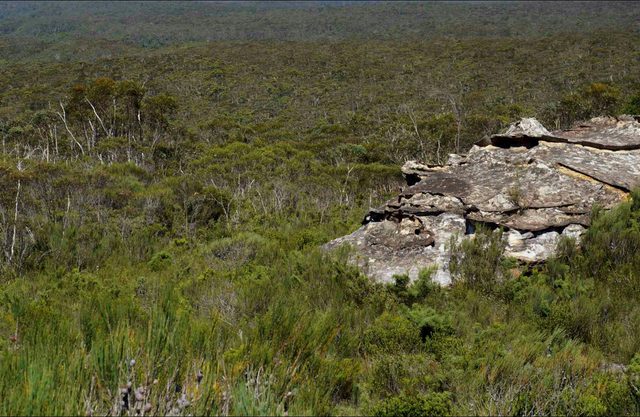
Andersons trail is a challenging cycling route for experienced mountain bike riders. It heads deep into the central wilderness of Blue Mountains National Park, between Wentworth Falls and Woodford. 28KM one way direction, 3-5 hours grade is hard This adrenaline-filled mountain bike adventure in Blue Mountains National Park has ultra-steep sections, loose gravel, and obstacles bound to challenge even the most experienced rider. Best tackled west to east, this route starts from the Old Queen Victoria Hospital on Kings Tableland Road. Follow the unsealed road towards McMahons Point for 7km and turn left onto Andersons fire trail at the gate. Stay right at the fork after 650m. This 12km section along Andersons fire trail winds through steep gullies and open eucalypt forest atop the escarpment. Breathe in the fabulous aroma of the peppermint gums as you cycle, and keep an eye out for echidnas or swamp wallabies on the track. At the end of Andersons fire trail turn right onto Bedford Creek trail and cross the creek. This is a great stop to refuel or cool your feet before the major uphill slog out to Woodford Station, around 9km away. Alternatively, turn left onto Bedford Creek trail before the creek crossing and return uphill to the hospital via Ingar Road for a 32km loop.

Amazing day, amazing trail.

Closed to vehicles

Well… unlike Ingar it’s accessible
Bedford Creek to Kings Tableland
Woodford NSW 2778